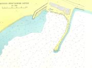
port map 1
799 x 591 px
size 59 Kbytes
port map 2
2029 x 1500 px
size 220 Kbytes
|
GPS position of main breakwater: N 42° 14. 0': E 27° 46. 85'
Dangers in approach:
There is a very dangerous rock with less than Imetre over it in position N 42° 13. 53': E 27° 47. 87'. In calm weather it cannot be seen, with fresh winds and swell it breaks but not heavily. This position was given by a local diver. Approach is best made from at least one mile offshore on a westerly course heading for the south end of the breakwater. Gyve coasts of headland north of Kiten, Nos limnos, an offing of at least 300m, irregular and rocky bottom. On Turkish Chart 18 the 1. 8m shallow patch shown just above the 'd' of Nos Urdovisa does not exist.
VHF channels: VHP 77
Shelter : Good
Charges: 10leva/day
| Electricity | At mooring. |
|---|
| Water | At mooring. |
|---|
| Fuel | no |
|---|
| Repairs | no |
|---|
|

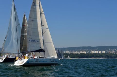
 Login
Login your pictures